The Jen-Hsun Huang Engineering Center at Stanford was buzzing with aerospace researchers. PhDs, postdocs, industry engineers, government lab scientists, and students had gathered for the 3rd Northern California Aerospace Symposium (NCAS) – a growing regional initiative cultivating collaboration across Stanford, UC Davis, UC Berkeley, and research institutions throughout Northern California. I was there to present my published air taxi research in both a flash talk and a poster session, sharing work on operational eVTOL flight routes in the San Francisco Bay Area with a room full of people who think deeply about flight.
Morning Keynotes: Beaming Solar Power from Space
The morning keynotes covered a range of aerospace topics, but the standout was AetherFlux, a company building a constellation of small low-Earth-orbit satellites that beam solar power to the ground using infrared lasers. The idea: harvest energy in space where the sun always shines, convert it to focused infrared beams, and transmit it to compact ground stations anywhere on Earth. AetherFlux was founded by Baiju Bhatt (co-founder of Robinhood) and has raised a $50 million Series A. Their use cases range from powering remote island communities and disaster relief zones to forward-deployed military operations – situations where traditional grid infrastructure doesn’t exist. The engineering challenges are intense – keeping a laser locked on a small ground target from a satellite moving at orbital velocity, managing heat in space, and navigating the regulatory side of beaming power through the atmosphere.
Flash Talk: Air Taxi Routes in the Bay Area
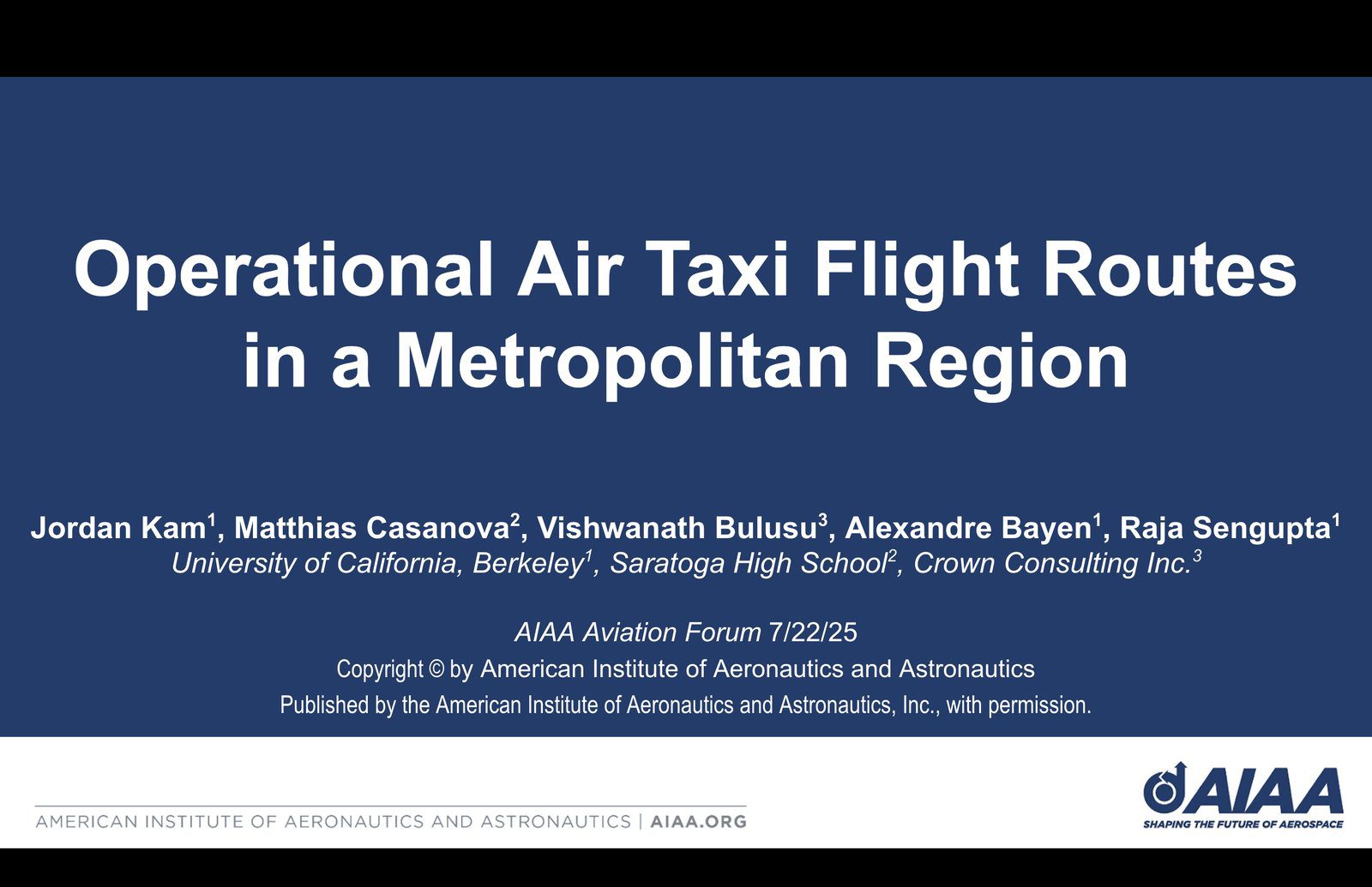
The flash talk format is designed for impact: a brief, focused presentation introducing your research to the full symposium audience before the more in-depth poster session. Standing in front of a room of aerospace researchers and engineers, I presented the core findings from our paper, “Operational Air Taxi Flight Routes in a Metropolitan Region,” co-authored with collaborators at UC Berkeley, Crown Innovations, and NASA Ames.
The research evaluates four candidate eVTOL flight routes between UC Berkeley’s Richmond Field Station and the Berkeley Space Center at NASA Ames Research Center. Rather than proposing hypothetical airspace redesigns, the idea is to work with what already exists: each route follows legacy general aviation flyways and FAA-sanctioned VFR transition corridors that pilots already use in the Bay Area’s complex airspace. These routes could work in today’s airspace while longer-term infrastructure catches up.

To evaluate feasibility, we built a congestion analysis framework using over 60,000 ADS-B data points, measuring aircraft density, average dwell time, and traffic diversity across each route corridor. The Hill Route – which tracks away from the Bay’s busiest VFR transition flows via the Hayward Hills – emerged as the least congested, while the most direct Corridor Route through the central Bay showed the highest traffic exposure. I walked the audience through the tradeoffs between taking a direct route and avoiding busy airspace – something that will matter for early air taxi operations in any city. The work builds directly on earlier route mapping research that first identified these candidate corridors.
Poster Session: Conversations with Researchers
If the flash talk was about broadcasting research to a room, the poster session was about engaging with it one-on-one. Over the course of the session, I spoke with dozens of attendees – graduate students working on autonomy and controls, professors studying airspace management, and industry engineers developing eVTOL aircraft and supporting infrastructure. The questions were sharp and specific.
Several conversations focused on the ADS-B methodology: how we defined route corridors in three dimensions, how dwell time was measured, and whether the congestion metrics could be extended to account for temporal patterns like rush-hour traffic peaks. Others asked about the operational side – what altitude constraints eVTOLs would actually face in Class B and C airspace, and whether ATC would realistically accommodate new aircraft on these routes. One researcher suggested incorporating noise exposure modeling into the route evaluation framework, which aligns with a direction we are already considering for future work.

I’ve presented at AIAA before, but poster sessions are different – you get real back-and-forth conversations instead of just a quick Q&A.
Lab Visit: AI-Powered Drones at Stanford
Beyond the symposium sessions, NCAS included a visit to Stanford research labs working on autonomous flight systems. Three demonstrations stood out.
The first demo focused on drone detection using AI – systems designed to identify unauthorized drones operating in restricted airspace. As urban drone traffic increases, the ability to detect and classify small unmanned aircraft becomes a critical safety layer, particularly around airports and sensitive facilities.
The second was the demo that generated the most excitement: a drone fencing demo from Stanford’s Autonomous Systems Lab, where a quadrotor used real-time AI to dodge a fencing sword while maintaining stable flight. The drone responded to rapid, unpredictable sword strikes with agile evasive maneuvers, showing the kind of real-time decision-making drones will need to fly safely in unpredictable environments.
The third demo addressed AI computer vision for safe landing zone identification. Researchers had built scale building models simulating urban environments with hazards like fires and structural damage. A drone equipped with a vision system would survey the scene and determine which buildings were safe to land on – useful for emergency response and autonomous deliveries in cities.

This lab work connects directly to the air taxi routes I’m working on. Safe autonomous flight – detecting obstacles, responding to threats, identifying landing zones – is what will eventually let air taxis scale beyond early piloted operations. My routing work figures out where they should fly; this AI research figures out how they’ll fly safely.
What’s Next
The feedback from NCAS is already shaping the next phase of this research. We’re working on adapting the route evaluation approach to work in other cities beyond the Bay Area, and incorporating suggestions around temporal traffic analysis and noise modeling. NCAS is building something cool – a regional aerospace community where researchers at different institutions and career stages actually talk to each other about their work. I’m looking forward to staying part of it.
Related Posts
Read more about this research: Designing the Future of Air Taxis in the Bay Area, Mapping eVTOL Flight Between NASA Ames and UC Berkeley, Connecting NASA Ames to UC Berkeley: An eVTOL Corridor Concept, Presenting at an AIAA Conference!, and Building a DIY Drone for Atmospheric Data Collection.